What a winter...storm after storm after storm gave weeks of miserable weather, that to say the least, limited the opportunities to enjoy the outdoors. Add to this a bout of "Man Flu" which lingered and proved hard to shake, and it's fair to say that my training before heading to bonnie Scotland for some winter climbing had been pretty much non existent. On the plus side I was heading to meet Patrick Price, which was guaranteed to be a pleasure, so I was looking forward to the trip.
 |
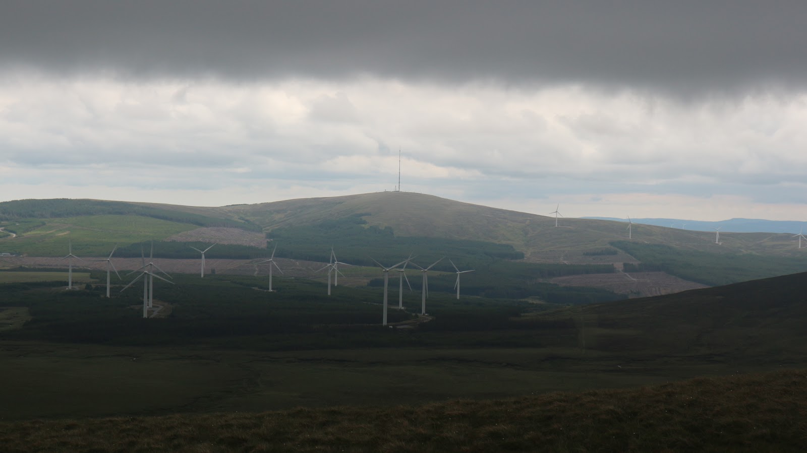
| View from the bus after a heavy squall |
The journey was the usual (for me) mix of train, ferry and trains as far as Glasgow, but a late arrival there, meant I missed my connection to Fort William. Nevertheless a Citylink bus did the job instead and I reached the town a couple of hours later than hoped at 18.15. A swift taxi ride and I was ensconced in the Ben Nevis Hotel and Leisure Centre before18.30, around 23 hours after leaving home. As I wasn't sure exactly where or what "Van Life" Patrick was intending to do I had booked myself into the hotel for just one night. I had brought my tent etc so I could easily camp alongside the van if needs be. That said it was nice to flop into the warm room and relax for a little before Patrick arrived. Another thing I should add, is that the most recent storms had deposited huge amounts of snow on the Highlands, which, while it made them look super spectacular (when the squalls allowed me to see anything), it also meant that the slopes were really loaded and the avalanche hazard was very high...we would have to choose our outings with care.
I didn't have long to relax before Patrick arrived. He had gone for a ski on Creag Meagaidh on the journey across from Aberdeenshire and arrived at the hotel at 19.30. I went down to greet him and he was a sight for sore eyes as he strode for the entrance. A mad quiff of hair had a mind of its own and added to his weather swept appearance. We greeted as old friends and retreated into the warmth of the hotel where we enjoyed a good meal and made our plans for the following day. Given the conditions it was obvious a ridge would be the preferred option and we decided that the Devils Ridge in the Mamores would fit the bill. After dinner Patrick left and I enjoyed a very welcome nights sleep.
 |
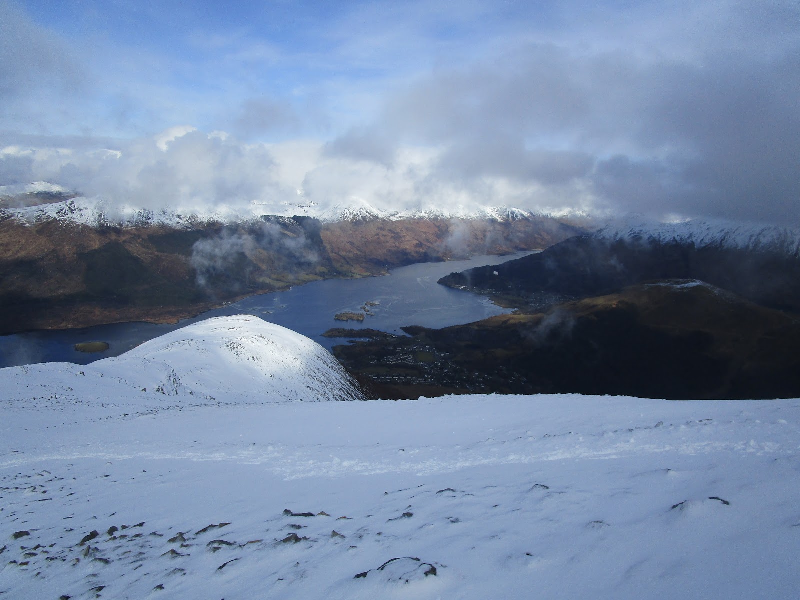
| More bus views..the three sisters Glencoe |
Tuesday March 3rd;
The forecast was not great today and promised frequent snow showers and winds up to 30 mph during the squalls, so it was a lovely surprise to emerge to a calm morning with mostly clear skies. Patrick picked me up at 8am and we set off into Glen Nevis and parked at the car park near the bridge.We suited and booted and were on the move by 08.30. Wow it was tough carrying the extra weight of the fully laden winter bag and before too long I was really regretting devouring a possibly record sized cooked breakfast...I fear the phrase "appetite bigger than my belly" was no longer true 😁. It was a glorious morning. Everywhere looked wonderful and alpine and add this to the wonderful company of my companion and it was a fabulous place to be. Stob Bán looked gorgeous on the right side of the glen ahead and as we got higher it only looked better and better. A good path eased access to the mountain but before too long we reached the snow line which lay at around the 200 metre mark. Now it is fair to say that I wasn't in the best of condition, and to say it was hard work trying to keep up with the machine that is Patrick, would be an understatement. Mind you it was always thus and in years past it was also a challenge (though I managed it better), but not to worry as the man is a gentleman and displays patience in abundance. Perhaps I am being too harsh on myself as in later days we mostly passed people in front of us.
 |
| Patrick |
 |
| What a morning...Stob Ban on the right..the slope up Sgurr a Mhaim on left |
 |
| Towards Aonach Beag and Grey Corries |
Anyway lets forget about my shortcomings and focus on the wonder of the morning. The slope up Sgurr a Mhaim (1099 metres) is long and unremitting. The trail does zig zag and this surely helps, but it is still tough. The copious amounts of snow promised to make for tough going, but blessedly, this aspect of the mountain seemed to have been scoured of much of the snow, and we were able to avoid too much "post-holing". Patrick decided to don crampons at around the 500 metre mark and it was an inspired decision, as after a few more metres we reached the most beautiful nevé slopes, where at times only the points of the crampons bit. Ben Nevis itself kept its cloud cap, but elsewhere things cleared and looked wonderful. The loaded slopes and clear evidence of avalanches that could be seen on Stop Bán, meant our decision to stick to a ridge was the correct one. The level of banter rose with the elevation and this eased the climb of the seemingly interminable slope, but eventually we arrived at the wonderful but chilly summit. A cold breeze ensured that an extra layer was definitely required and after a brief rest we set off for the lovely and interesting Grade1 Devils Ridge.
 |
| The ridges of Stob Bán looked great but the slopes were super loaded..Some avalanches had already happened |
 |
| Refueling...a wafer and a sip of water and he goes for hours |
 |
| The Devils ridge looks very tempting |
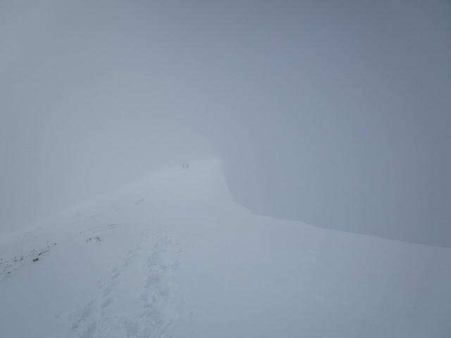
In summer this offers a pleasant scramble but today it looked alpine With a narrow crest of snow, it promised an entertaining passage. And so it proved to be. There were surprising amounts of snow in places. Some cornicing on the narrowest crests of the ridge gave sections which we passed on either side. It was never difficult, but some care was obviously required. The cloud swept in around half way across and stayed with us for the rest of the route. After an easy drop to the first col the ridge narrows and a couple of delicate sections are negotiated. A couple of sharp snow crests keep the interest alive, but all too soon the narrows are over and a broad col is reached. An icy scoured slope led up to the summit of Sgurr an Lubhair at 1001 metres. Up here in the broad top, there was full snow cover, and this coupled with the cloud meant that visibility was just about zero. Out came the map and compass and it was a case of walking blind, pretty much all the way to the bealach near Lochan Coire nam Miseach. The occasional rock could be seen in the white blanket and this kept stress levels lower. Once down at the bealach, we could get fleeting views down into the glen below.
 |
| Before the weather came in. |
We debated whether we would descend into the glen from here, but decided to include Stob Bán (998 metres) in our day. This would add another few hundred metres ascent to the trip and I must admit to not relishing the climb up deep snow. I needn't have worried though, as a short while later, we met the first of perhaps twenty or more people, in various groups, coming against us. We could then enjoy a nice stepped out trail to the summit. We had several chats with various groups, and it was great to see that everybody was really enjoying their day. After we left the summit, we were almost caught out, and nearly headed on the easier ridge to Mullach nan Coirean. Patricks vigilance saw us right ourselves, and we continued along the north ridge. Now it is a fair old while since I was last here, and I had completely forgotten how narrow this ridge was. A narrow snowy crest, with a few steep rocky steps, arrived at the same time as a snow shower driven by a stiff wind. This was what had been forecast for the day and we had been fortunate to escape for so long. It made the crossing of the ridge a bit more interesting, but like any difficulties, it soon passed. We reached the broad easy ground that led to Srór Dearg and negotiated the steeper ground into the wood below and back to the car. It proved something of a wallow through the snow for the latter section and we both counted our blessings that we had chosen to descend this way rather than climb it. Seven hours twenty minutes after setting off we reached the van. We were soon changed and reading back to Fort William where I returned to my hotel and enjoyed a lovely comfortable evening including a wallow in the pool and Jacuzzi ...I must be going soft.
 |
| Back down from the white room. Great to see a bit of colour |
 |
| A nice addition to the town centre |
12 Kilometres...1500 metres ascent...7 hours 20 minutes
Wednesday March 4th;
Patrick and I had discussed over dinner the previous evening what we would do today, and with no change in the avalanche hazard, we decided to stick to a ridge. Patrick used his wide knowledge of the area to whittle our options down, and we chose the east ridge of Beinn a Chaorainn, which lay about 30 kilometres further inland by Glen Spean. This promised both better weather, and a Grade 2 winter outing. Having never been in this area I was really looking forward to seeing somewhere new. Patrick picked me up again at 8am which meant another"substantial" breakfast was consumed👀. The forecast was for light winds and occasional cloud, and it seemed to be exactly that, as we got ready at the car park just beyond the Lagan Dam. We were ready and on the move at 08.50 and heading up the rough trail through the woods. This was quite nice and we passed several pretty waterfalls in the initial section. A seemingly random trail, crossed some clear felled wood, before we reached a forest road and followed that. The carpark was at 270 metres and the forest track finally ended at 570 metres. The forest road was covered in over a foot of snow, but thankfully, there was a trail stepped up through it, which made for easier going. One aside, is that for some reason, on yesterdays outing both my shins were seriously chaffed and marked by my boots. They were quite sore by the time I was finished, and today things were sore right from the get go. It wasn't a deal breaker but it made for uncomfortable going.
When we exited the woods, we turned and headed across the deep snow to the prow of the nearby ridge. Another group could be seen ahead, heading for the base of the climb, and we gratefully used their trail. Here, in the open ground, I was able to fully appreciate the grandeur of my surroundings. Ahead and to the right, lay the Creag Meagaidh massif and its out-layers, and to the left Beinn a Chaorainn filled the sky...well it would have if I could have seen the summits, which lay shrouded in light cloud. To the south the many Munros, that lay north of Ben Alder, could be seen. Add to this the Ossians and the Grey Corries and it made for a winter wonderland landscape. Cloud covered most summits, but I wasn't complaining, as it really was a lovely morning, with plenty of blue sky about, and hardly a puff of wind. A snow plod followed, before a steepening saw us reach a level stretch at around the 800 metre mark. Now we were at the start of the interesting ground, where a broad, almost buttress like ridge rose up into the mist. It was reasonably laid back and really didn't present any problems.

We passed the other party here and made our way up the initial step using a couple of steep snow gullies. This was the norm for the rest of the route, as we went up the occasional bulge, followed by easy ground. We had put on the harnesses but the rope stayed in the bag, as the going only really touched Grade 2 in spots. Higher up there was some very nice snow-ice formations on the rocks, and before long the massive summit cornices loomed out of the mist. We sat by the nearly buried cairn in almost calm conditions and enjoyed fleeting glimpses of the plateau as the sun tried to break through. It was beautiful. When we had first reached the ridge, we were suddenly blasted by strong winds and spindrift, and we thought it would be a battle of attrition the higher we got. The opposite was the case, as almost as soon as it arrived, the wind died, and almost calm conditions were again the norm. We relaxed a while and greeted the other party when they arrived, before setting off south along the plateau for the straightforward descent. It was a joy to walk on the firm snow and before too long we were returning to the forest and back to the car.
 |
| Deep snow between the steep bits |
 |
| Nice ice formations and the following party just visible in the mist |
 |
| Approaching the summit |
 |
| Don't you just love the Highlands |
We were back and enjoying a coffee in the van less than five hours after starting. It was a shortish but fulfilling day, and we enjoyed a relaxing afternoon. Patrick used the town leisure centre, and I made full use of the excellent pool and jacuzzi in the hotel. The only down side was the state of my feet. Today's outing had made them more tender, and had taken some skin. I had to get some bandages and cream for them in the evening in preparation for tomorrow. Over a beer in town we formulated a plan for the following day. After much perusing of the guidebooks, we decided that the Inglis Clarke Ridge on Creise might make a possible Grade 3 outing. So with plan made, we retired to bed. A friend of Patrick called Nick Ord was joining us for a couple of days.
 |
| A well deserved puff |
Just 10 kilometres...860 metres ascent in 4 hours 40
 |
| After the second day...they didn't improve |
Thursday March 4th;
Since it was a somewhat longer drive to the Glencoe ski centre, we set off at 07.15. This led to a more hurried breakfast, and unbelievably, I had to leave a sausage on the plate. Would I survive on reduced rations ? 💀😏. Nick had arrived in Fort William later last night. We met him at the southern end of town and he followed us to the ski centre. The forecast for today was pretty much the same as yesterday with some cloud and light winds, but the avalanche hazard remained at its highest. My oh my, but the drive through Glencoe is always one to take the breath away. Even though the tops were shrouded in mist, it was so rugged and atmospheric, that it was a joy to behold. I was the lucky one in the passenger seat, who could relax and gaze in all directions, without the responsibility of staying focused on the road.We climbed up onto Rannoch Moor and the bleakness was emphasized, by lowering cloud and snow flurries. We arrived at the spacious carpark, and when Nick arrived, we looked into the clag and reassessed our options. Nick wasn't so sure that reaching the Inglis Clarke route would be safe or even possible, so after a swift look at the book, we opted for the old reliable Schoolhouse Ridge on Sgorr Dhearg, above Ballachulish. I was perfectly happy to acquiesce, as any chance to get out on these wonderful mountains is a thing to savour..and of course there was the great company. We timed our departure from the carpark with the arrival of a long stream of skiers, who were going to make the most of the snow cover. The weather gods seemed to agree with our decision to change venue, as by the time we were descending back to Glencoe, the cloud had lifted, and some blue sky could be seen.. Of course I was able to enjoy those views all over again.
 |
| An aesthetically beautiful line |
 |
| Nick in his element |
We parked down in the village of Ballachulish and set off up towards the lovely defined ridge line. It was clear that we would not be alone on the route but that would only add to the sociable aspect of the day. My feet were bloody sore. I had bandaged and taped them up but I guess it was a little too late as the boots still pressed on the spots where the skin had been come away and most steps came at a price. Aside from that it felt wonderful to be out. Once again there was no wind as as we rose up the steep path towards the snowline the sun came out and it suddenly felt more like spring than winter. Our hope that things would clear up completely were dashed and when we rose up as far as the interesting narrow section we were once again in the cloud. We passed a group here who were on a winter training course and were going to pitch this section. Indeed this section is what gives the otherwise completely benign route a Grade 2 rating. Personally I feel that is too high and overall it barely reaches a Grade 1 outing. Once past the narrows there follows a long slog to reach Sgorr Bhan at 947 metres. After a brief rest we continued, first down then up the beautiful elegant snow slope to the munro Sgorr Dhearg at 1024 metres. The mist tried to clear and glimpses of the mightily corniced crest were very impressive but they were only glimpses and the mist stayed stubbornly in place. With nothing to see we returned to point 947 before descending easily along the north ridge and turning and dropping down the snow slope towards the village. It had been a lovely outing with good banter and excellent weather. When we reached the snow slope that dropped towards the village Patrick suddenly put on the afterburners and flew down the slope...Nick and myself were mystified as to how he did it as we post-holed to our thighs and struggled to make reasonable progress. Personally I suspect "Spreading Boots" or secret snowshoes..or maybe it is because he is as light as as feather, while I had been eating all the pies...

 |
| Nick in on of the more interesting sections |
 |
| Loads of snow |
 |
| Patrick |
 |
| A lovely snow ridge to Sgorr Dhearg |
 |
| Back under the mist and what a view down to Kinlockleven |
Just 8 kilometres but 1250 metres ascent in 5 hours
 |
| Copyright Nick Ord |
 |
| Copyright Nick Ord |
Friday March 5th;
Patrick and Nick were heading home this evening and I guess the lack of any meaningful exercise in the month before my trip meant I would be glad to head home after todays outing myself. I was tired before I started and my legs were sore but I was really looking forward to todays outing. Over a nice meal the evening before we decided to head to Creag Coire an Dothaidh which sits between Beinn an Dothaidh and Beinn Dórain down by the Bridge of Orchy. I hauled my humongous travel bag into the van and we were off at 07.15. Once again the forecast was pretty much the same as previous days but more in the way of poor weather was expected in the west. We hoped where we were heading would perhaps be far enough inland to improve our chances of fair skies. It was certainly clearer when we set off and the views for the entire journey were wondrous. Glencoe again was awesome and beyond when we neared the ski centre we could see clearly the Inglis Clarke route and I have to say we had a lucky escape when we decided to give it a miss. It would probably have been possible to reach the base of the route but the slopes from the end of the rocks to the summit were a loaded snow slope topped with a cornice which would probably have meant an abseil retreat to end the day.
 |
| What a mountain..one day |
 |
| We definitely dodged a bullet giving this face a miss yesterday..Inglis Clarke in centre |
We drove to the train station carpark and set off up the gentle slope into the coire. We reached the snow at round the 350 metre mark but it was well trodden and proved easy going. Up into the snowy landscape we went and at a large rock below the crags we put on the crampons, harness et al and had a nice chat with a guide and his client. The guide waxed lyrical about my home mountains The Magillycuddy Reeks and inquired about winter routes. I have been trying to convince Patrick to pay a visit and maybe this chat helped. The route we hoped to do was Salamander Gully a Grade III 4 route that promised to finally give my two axes a good workout. As we crossed to the start of the route we could see one party on the first pitch..one waiting to start and the guide and client also heading for it. We reckoned we were in for a long wait so we passed it by and headed for the nearby Firebird..a Grade III 3 route.It looked very banked out and it was even hard to spot the route with so much snow. We probably went about 10 metres too far and we belayed from a rock outcrop just beyond the snow bay.
 |
| Starting out....easy going for the most part |
 |
| Our eventual route on the left |
 |
| Salamander busy but looking very nice |
 |
| Nick looking determined |
Patrick led off and it proved a slash and wallow to round the corner and rise up ice covered rocks to a belay. Myself and Nick followed and Nick led off up pitch two. This was as much a snow wallow as a climb but Nick reached a belay under an ice bulge. The last pitch went up the ice and along a ramp to the right but it was really laid back and to be frank didn't look worth the effort of a big shuffle and gear change so I left Patrick just continue on as it saved faff. Another wallow followed up the side of the bulge and it offered no surprises after that as it was easy going up the snow covered ice to the top of the route. And suddenly it was over. It had been a Grade II outing I would say but more tiring than it should have been because of the amount of snow. Climbing as a three may have slowed things down a little but it made for lovely sociable belays and given the misty cloud, snow flurries and no wind it was a really pleasant experience.
 |
| From the belay looking up pitch 2 |
 |
| Feathery ice..copyright Nick Ord |
As it happened the guide and his client arrived on the summit at the same time as ourselves so perhaps the wait wouldn't have been too long on Salamander after all. They disappeared into the mist and we followed their footsteps for a while but a compass bearing showed that they were heading for the summit of Beinn a Dothaidh instead of the bealach and the way down so we turned and before long we were under the mist and descending back to the car. Time is eaten up rapidly when you pitch a route but it wasn't yet 3pm by the time we reached the place where we suited up earlier. Patrick was eager to climb another route but I was tired and sore and as there was time for me to catch the train south at 15.40 we continued down. We reached the car by 15.25 and after a quick change I said farewell to Nick and Patrick gave me a lift with the baggage and we said our goodbyes.
 |
| 9 kilometres 6 hours 750 metres ascent |
I sat for a few minutes and basked in the glow of good friendship and a good adventure before I noticed the live information board for the train times. It said that the next train wasn't for nearly five hours and it was then I realized that I had done my searches on train times from Crianlarich and the train I had hoped to catch had come from Oban. Bollocks to it anyway. I returned to the carpark where the two guys were still sorting themselves out and after a quick google I discovered that I could get a train from Stirling to Glasgow and beyond so I bummed a ride with Nick who was passing the city on his way home. He was a real gentleman about it and I was in the train station by 17.45. A very short wait and I was en route to Glasgow and all following travel went very well.
What a joy to meet and climb with Patrick again. His bonhomie, humour and all round good eggedness always makes for a wonderful trip. His seemingly boundless energy and climbing prowess is infectious and a good reminder to me that I need to do a bit of work to improve my speed and stamina. Not that he was having any of that old nonsense. His good sense and humour in the face of challenging and limiting conditions was great and ensured we both had a fine old time. We were really lucky with the weather as well with four days of decent weather coming after a sequence of storms. Okay it meant that there was too much snow but it sure beat the alternative. To top that, more bad weather arrived the day after we left so we were super lucky indeed. It had been a pleasure to meet and climb with Nick who was an excellent companion and is a fine climber to boot. It was a real boon for him to give me the lift and hopefully we will get the chance to go out again.
I have over the last few years struggled with the dilemma of whether to stick to hiking of keep my hand in the climbing game. This trip was to help me in that decision and while the technicality of the routes may not have been high I came away with a renewed hunger for some "proper" climbing. Given the emergence of this Coronavirus threat it is unclear if I will be able to travel in the short term but hopefully more opportunities will present themselves before too long.
Thank you Patrick.