 |
| Heading for Claragh. |
Sunday June 7th;
The mountains of Kerry are still denied to me so I looked for an adventure I could have in Cork. For a few years now I have toyed with the idea of starting a big hike into the west by literally starting from my front door. To do this I could walk the 5 kilometres on the road to the trailhead of the Duhallow Way and from there the wonders of the wilds stretch all the way as far as the Atlantic Ocean. Last September I enjoyed a wonderful four day trip when I started in Millstreet and reached Knocklomeana not far from Sneem. This time I decided to finally start a trip from near home and decided on the Duhallow Way. I would hike for three days, carrying my tent and food and immerse myself in the great outdoors for the first time in a few months. I was really looking forward to it.
 |
| Heading for Bweeng Mountain. |
 |
| Pretty typical walking on day 1. |
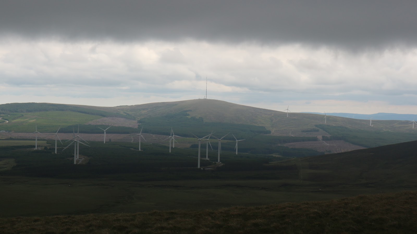
I didn't walk the kilometres on the road from home but instead Margaret dropped me at Laharn Cross where I was able to immediately leave the road and start my hike. As is my wont I tend to stray from the strict defined trail and this was no different. Instead of starting from the correct place near Bweeng, I opted instead to hike up and over the tops of the mountain and once that was done I would join the way marked trail. Starting so near to home I enjoyed a leisurely morning and didn't start my hike until 1pm. Even though the height is modest (416mtrs), Bweeng Mountain offers wonderful views, especially to the north and east. On a good clear day, everything from the Slieve Mish near Tralee right across to the Knockmealdowns can be seen. Today was one of those steely grey days when a layer of cloud seemed to leech all colour from the land. It was quite chilly as well, with a stiff breeze coming from the north. Even though I am really familiar with all the trails here abouts, I found that that didn't matter. I found that I was still enjoying myself and had that feeling of anticipation that I always get at the start of a multi day hike. There isn't a lot of climbing to do to reach the summit but there is enough to get the heart pumping. When you throw in the heavy rucksack I was soon sweating, despite the chill breeze.Once you pass the summit then it is easy to join the way-marked trail. This is mainly level as it follows forestry roads as it meanders towards the west. Now the more expansive views to the north are lost as you walk through the trees. One thing that is inescapable though is the wind turbines. Love em or hate em they are undoubtedly spectacular and for the next couple of days they provide an almost constant backdrop on the route. In the stiff breeze they were working at full tilt and in places where just the tips of the blades were visible it was something of a revelation to witness just how fast the tips of the blades traveled. It was easy to see how birds could so easily be killed by them. Another thing that was apparent was that they are not really all that silent. There is a constant thrum of noise in the background and the odd time there is what I can only describe as a muffled mechanical roar. All that said, in the main I found them to be a spectacular backdrop but my mixed feelings remain.
 |
| Nice to be out on open ground |
 |
| Wind turbines are never far away. |
After several kilometres the trail leaves the forest and crosses open bog where turf cutting is still practiced. Not the old style manual work of many years ago but the mechanical style, where large hoppers of peat are gouged out and this is spread in long sausage like rows. People then allow it to dry a little, before "footing it" (basically building a stack), dry out much more, before loading it up and taking it home to fuel the fires for the winter. At one stage the trail went through a section of bog that I had last been in some 45 years before, when I used to accompany my father as harvested the peat "old school". It was a surreal and nostalgic experience as I walk close to the actual "banks" where we toiled long ago. This area hadn't seen any turf cutting for decades and it was great to see how much the bog had recovered. It was no longer easy to see where the turf had been cut and heather covered the ground. It all added to the experience of the day and I was really enjoying my outing. I had been on the go by now for over four hours and my mind was turning towards where I would camp for the night. I decided to head as far as Mushera mountain, to a place where I knew there was a water source. It was still a fair way ahead so I pressed on. After passing through some more forestry and open bog you reach another windfarm and shortly after this I left the waymarked trail for a while. I guess the way was diverted when they started building the windfarm but it is still possible to follow the original route that passed by Seefin mountain. This I did and it saves a couple of kilometres on the road. Once you reach the road at the top of the pass, the trail continues onto the slopes of Mushera, literally just the other side.
 |
| Home on night 1 |

It had been a fine start to the trip and I had covered 26.5 kilometres, climbed 800 metres in 6.5 hours.
Monday June 8th;
Last nights camp hadn't been entirely successful. As the great Gorge W Bush once said "I misunderestinated" how chilly it would get in the night. Once again I brought my 1 season sleeping bag and it didn't quite live up to the task. For the sake of a couple of hundred grams my down bag would have been so much better. The breeze had died during the night and I emerged to a cool, steely grey morning. I wasn't in any great rush and I relaxed and enjoyed a nice warming brew after some muesli before finally shifting myself and getting on the move by 9am. It is still a thrill to start a new day on a hike and after leaving no trace, just head off on an adventure new. It was less than a two hundred metre climb to reach the broad summit of Mushera at 644mtrs. I had no delusions about hiking in a baselayer this morning and I was certainly glad of the protection of my down jacket as I stood and admired the extensive views. This is a summit I often visit when the weather is wild and stormy. It is relatively safe due to the rock free nature of the terrain, but it is high enough and bleak enough to provide an exhilarating experience at those times. It wasn't that bad this morning though and I enjoyed a brief rest before setting off down to the road head some 260 metres lower down. At the road I once again rejoined the Duhallow Way and I followed the markers all the way to Claragh Mountain.
 |
| Caherbarna is a long way away from the summit of Mushera. |
 |
| Claragh beyond the forestry. 10 Kilometres on the road. |
 |
| I love visiting these ancient monuments. Stone circle and standing stone en-route. |
 |
| Mount Leader House |
From the top I decided to continue along to the saddle between Claragh and Curracahill and I would head as far as Caherbarna before I would camp for the evening. I have done this hike several times before and I knew that is a long slog over rough ground, so I knew that I still had plenty of work to do. I had been moving for over 5 hours by now and my ankles were quite painful so I pressed on and looked forward to reaching a place where I could put up my tent and let my ankles recover. I decided that I would continue over Caherbarna and descend to the gap between the northwest top and Knocknabro where I knew there was a fine spot to camp. On reaching the top of Curracahill there follows a rough traverse above the rough glen that holds Kippagh Lough. It is tempting to try and shorten the journey by cutting across the upper edges of the glen but this leads to torturous rough ground. It is better to stay high and walk the long way around until you reach the lower slopes of the ridge that eventually leads to Caherbarna. Up here the breeze was getting stronger and the sun had once again retreated behind a veil of cloud so the temperatures dropped. The views were still lovely and as you rise to up over 2000 feet the drop to the north gets steeper and steeper. To the south a large windfarm stretches away all the way to Mullaghanish which is topped by its giant communication mast. I was fairly tired by the time I eventually reached the top of Caherbarna but I was also buoyed by the fact I knew I didn't have too far to go. I crossed to the northwest top and descended the easy ground to the saddle. I found my camping spot and soon had my home up for the night. A very pleasant evening morphed into night and I slept well.
 |
| From Claragh there is still a ways to go. |
 |
| Lough Kippagh. Don't be tempted by the shortcut |
 |
| More turbines and Mullaghanish with its 225 metre mast. |
 |
| Tomorrows destination..The Paps |
 |
| Home for night 2 |

30 kilometres in 8hours 15 minutes with 1100 metres ascent.
Tuesday June 9th;
Today was the final day of the trip. There wasn't any breeze this morning and the first thing I noticed when I exited the tent was the unwelcome attentions of midges. It wasn't warm but they were still around in numbers so I stayed in my tent while I had breakfast and once I was packed up and on the move they bothered me no more. I was heading as far as The Paps today and I would then walk as far as the village of Rathmore where I would either catch a train to nearer home or Margaret would collect me. I was on the move at 7am and once again the only company I had was the wonderful song of the skylarks. Even though you are not too far from civilization on these hills you are still removed from it. There is a delicious wild feel to the place and the chances are that you will have it all to yourself. The going is pretty easy all the was to the pass under the Paps, where at the rough road that cuts through the pass I reached the end of the Duhallow Way. Next up comes the steep and unrelenting 400 metre climb to the top of the East Pap. There was nothing for it but put the head down and keep putting one foot in front of the other and it eventually passed. The nature of the day seemed to be changing. The stiff chilly breeze also brought the odd drop of rain. I hoped that it would hold off for a while yet. These hills offer a wonderful viewpoint, especially the west top which was next on the agenda. I wasted no time in setting off for it and once there I wasted no time in beginning my descent. There was a train at 12 noon so I decided to try and make that. It always comes as a surprise just how much warmer it gets when you return to the low ground. Not only is the breeze lighter but the temps are better. Today once I reached the road the sun also made an appearance and it was positively balmy. I quickly realized that it would have been a real race to try and get the train so I rang home and Margaret agreed to collect me. It made the 10 kilometres walk on the road more enjoyable. Mind you it is still 10 kilometres on tarmac and once again my feet were tired by the time I reached the village. It had been wonderful to return to the hills.
 |
| Nearing The Paps with the Reeks rising beyond |
 |
| Summit cairn |
 |
| Shrone Lake |
 |
| The way way back. Nothing too spectacular but definitely wild. |

18 kilometres in 5 hours 20 minutes with 750 metres ascent.