Dingle again. It now seems that if I have a couple of spare day that the Dingle Peninsula is the go to place for me. And why not?. It has it all, from rugged mountains and lakes to spectacular coastal walks and all in an area that can be reached by public transport. This weekend the forecast was excellent so once again I packed my bag for an overnight stay on the "Brandon Hilton" and set off on the train for Tralee. I was fortunate to make the bus for Dingle and it took a call to the inspector to ask if he would hold it for me. Thankfully he obliged and I duly boarded and headed West.
My first choice of outing was to head to Dingle and then head by thumb or taxi to Ceann Cibeal where I would first walk the stunning coastal cliffs on the Three Sisters and then continue on the Dingle way to Feohanagh from where I could climb to Ballydavid Head. After this cliff walk I would then rejoin the Dingle Way as it climbed towards Masatiompan and find a spot to pitch my tent. That idea soon became infeasible as I wouldn't be starting until 1pm at best and to reach where I hoped to camp I would need to cover over 30 kilometres. At the last minute I decided to start my trek at Annascaul and head towards Brandon from there.


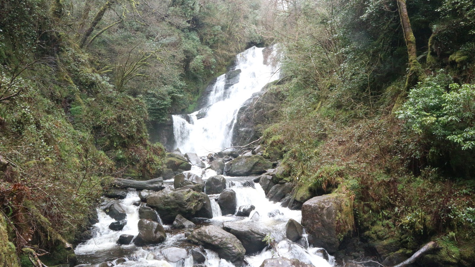
 |
| Finally some views near the Conner Pass |
It was sunny in the village but the hills were cloudy down to about 500mtrs. It was a little disappointing but I was hopeful that the sun might burn off the mist and I would enjoy views later. I walked in the lane that is lined with hedgerows, fast coming to life after a harsh cold spring. The gap beyond Annascaul Lake looked spectacular and I was immediately enjoying my outing. There is a four kilometre walk on the road before I finally reached the lake and was able to turn and begin my climbing. A steep climb saw me gain height quickly up the east ridge of Knockmulanane. I like this type of ground. Too steep to be boggy, so it's dry and generally easy to pick good steps. Once you find a steady rhythm and can keep going, good progress is made. Nice views down into the glen were soon replaced by mists and cloud and the strong wind ensured I didn't tarry. At the summit I stopped for a bite to eat and put on my coat and hat and huddled out of the breeze. I also managed to spill most of my water which is never a good idea when your walk is on a ridge.
Clouds persisted nearly all the way until I reached the Conner Pass but before that I had to cross four more tops. I even managed to get myself "geographically misplaced 😆" en route by taking a compass bearing for Slievanea from An Cnapan Mhor instead of Croaghskearda. All worked out well as I realized quickly that the lay of the ground was wrong and sorted myself out. I was hoping that the refreshment van would be parked at the pass, but it wasn't to be, so I continued on my way and soon was enveloped by solitude again. I was feeling tired but I decided to head for the little lake under Fallaghnamara where I camped once before. This meant I still had about five kilometres to go and over 300mtrs of climbing to do. The ground up to now had been mainly dry but crossing Ballysitteragh I was constantly squelching through bog and as well as being fatigued I also had soaked boots. Eventually I reached my destination at 18.30 and set about finding a good spot for my tent. I spotted a reasonable place about thirty metres from a stream and pitched it there. I went to the stream and filled my water bottle and while there saw a super flat dry spot so I returned and re-pitched the tent there. I then got the stove going and soon had boiling water for dinner. Oh the relief to sit and eat my tasty Voyager Foods meal and relax and just be. A brew quickly followed and it was while supping this I spotted the sheep's head laying by the rock in the stream just a few metres away. The brew went flying as I stared horrified at the carcass hidden from casual view behind the rock....had I drank from the bottle? Had I boiled the water enough before dinner? Ah well, there was nothing I could change now so I went upstream and got (hopefully) better water and returned to the business of re-hydration. A long peaceful night followed but I may have dreamt of dead sheep.
Day 1-20kilometres and 1300mtrs of ascent
 |
| Wild wild camping |
 |
| Not a bad view either as evening closed in. |
 |
| Spot the sheep? |
Sunday May 6th,
Thankfully my fears of suffering due to bad water came to nought and I got up at 06.30 feeling strong and refreshed. I was enveloped by the clouds again but there was no wind and I was hopeful that the sun might appear. After breakfast (all water well boiled😆) I was packed up and on the move by 07.40. I could have skipped Fallaghnamara and traversed the slopes to the boggy col under Gearhane but I chose to climb the steep ground nearby and headed directly for the summit. As I rose higher the sun was threatening to break through and finally near the top I emerged above the clouds into the brilliant morning sunshine. There is little to beat the feeling of walking about the clouds. Your spirits soar and everything just looks great. Anyway, after the 200mtrs pull up to the first summit I now had almost 200mtrs to climb to reach Gearhane. As I said, I was feeling good, and it soon passed and as I got higher the views just kept getting better. Towards the village of Cloghane was cloud free and it is always great to have the magic of blue seas to watch as you climb. Next up came Brandon Peak and then the long slog up to Mount Brandon itself. Things were looking so good I stayed at the ridge edge and enjoyed the spectacular views into the coum on the eastern flank of the massif. As I reached the top my solitude was pleasantly broken by a small group sunning themselves on the top. Everyone was in great spirits and some fine chatter flowed. It was just 10am and my bus from Dingle back to Tralee wasn't until 15.45 so I had plenty of time to go as far as Masatiompán at the furthest end of the ridge, from where I planned to walk the along the spectacular ground above the sea until I reached the road. That is exactly what I did and I must say I enjoyed every step of the way. I reached the road-ead at 13.00 exactly but now my problem was that I had a long long walk back on the road (all of 14 kilometres) before I would reach Dingle. I was feeling bullish but I always had the option to hitchhike if things got too bad. The first hour was fine but after that my feet started to get a little sore and this only got worse as I went further. Luckily for me at the 10 kilometre mark a guy was coming out of his driveway and took pity on me and offered me a lift which I gratefully accepted. A well deserved coffee and pastry in a very busy Dingle eased the wait for the bus. All travel passed off well and a very happy boyo relaxed at home for the evening and basked in the afterglow of a superb couple of days.
Day 2-23 kilometres and 1000mtrs of ascent